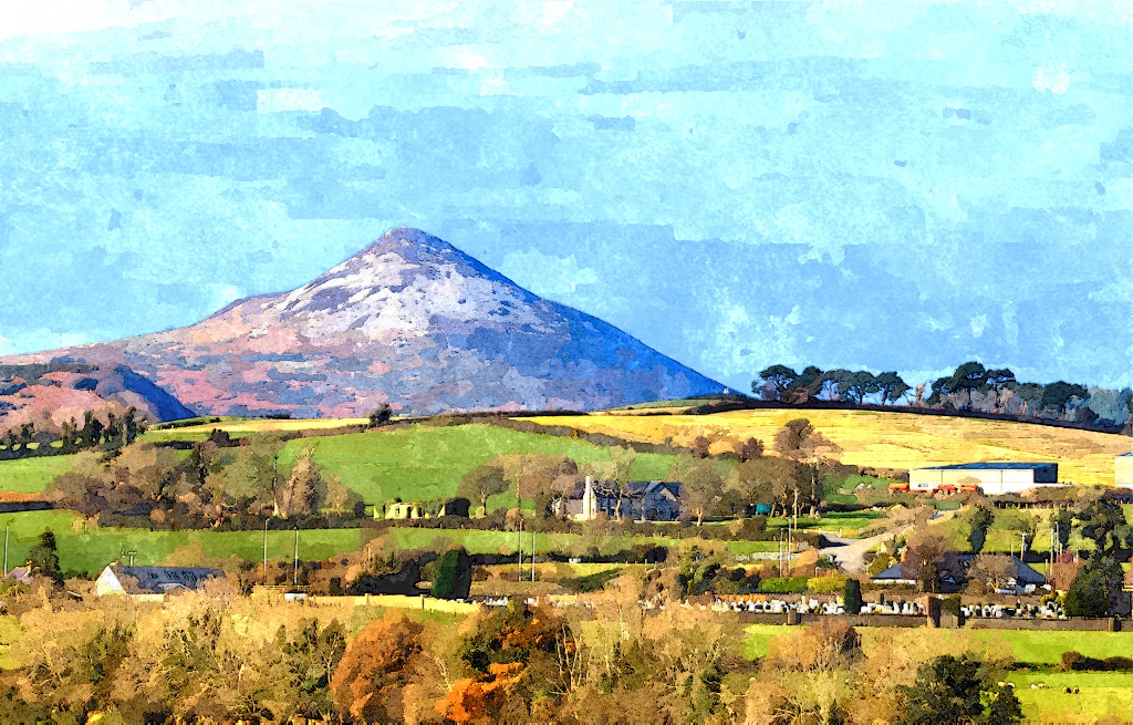
Kilcoole has some of the best walking paths in this part of Wicklow. Walkers can enjoy everything from an hour’s stroll near Kilcoole, to half-day journeys from Kilcoole to Wicklow Town or the Sugarloaf.
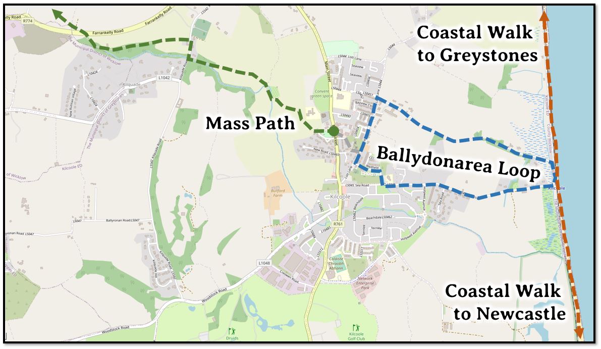
Mass Path
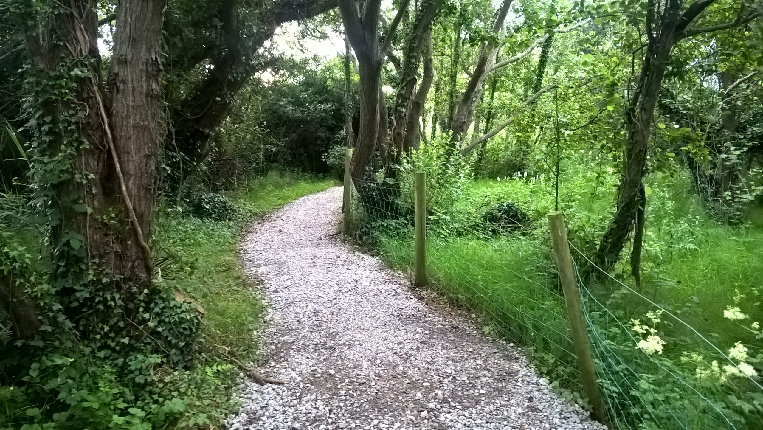
This historic walk leads from Kilcoole to the parish church of Kilquade. The Mass Path features beautiful views of the countryside, an old walled garden, Kilquade church, and at the turning around point an opportunity to stop at a garden centre café for refreshments.
4.4km there and back (1 hour).
Start at the Upper Green (next to the Forester’s Hall). Follow the Green Arrows.
At Kilquade Road, you can turn left to Kilquade Church and the Arboretum Cafe, or turn right to continue on the path to Farrankelly Road. Once you cross Farrankelly Road at the roundabout, you can double-back and continue on the path to Drummin. This will take you to Delgany’s Blackberry Lane, or under the N11 to Downs village, from which you can access Downs Hill.
Ballydonarea Loop Walk
This popular walk leads from Kilcoole village to the Sea using a farm lane and rural footpath, then returns to Kilcoole on Sea Road. The walk can be extended by walking part of the coastal path toward Greystones or Newcastle.
Start at the Rock of Kilcoole, an ancient Cambrian formation just to the east of Main Street. The area between the Rock and Main Street was once part of the village green and is still known by the name Lower Green. From the Rock you will have a magnificent view of the entire coastal plain from Wicklow Head in the south, to Bray Head in the north.
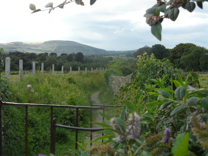
From the Rock, take the footpath and lane to the south, keeping left, and descend the steep footpath to Lott Lane. Across the road you will see the ruins of the Church of St Comgall. A sign at the gate gives information about this ancient Christian site from which it is believed Kilcoole received its name.
From the church, walk north on Lott Lane, passing the Rock on your left hand side. You will presently see a lane heading east toward the sea, turn here and follow the lane to Ballydonarea House. A plaque in the garden wall of the house commemorates Albert Hime, who was born at Ballydonarea in 1842 and who became premier of Natal in South Africa.
Continue past the house until the tarmac ends, then proceed straight down the farm lane. To the right is an area that once contained a brick foundry. Where the farm lane turns to the left, continue straight through the gate onto a footpath going diagonally between two fields. A ruined house to the left was once the home of writer J. P. Donleavy. The path descends near a hollow and on into a wooded area. Follow the path across two footbridges and then onto a tarmac lane. You will emerge into the beach car park. Turn right into the car park.
Stop for a look at the sea or to extend your walk along the coastal route; otherwise, take Sea Road back to Kilcoole.
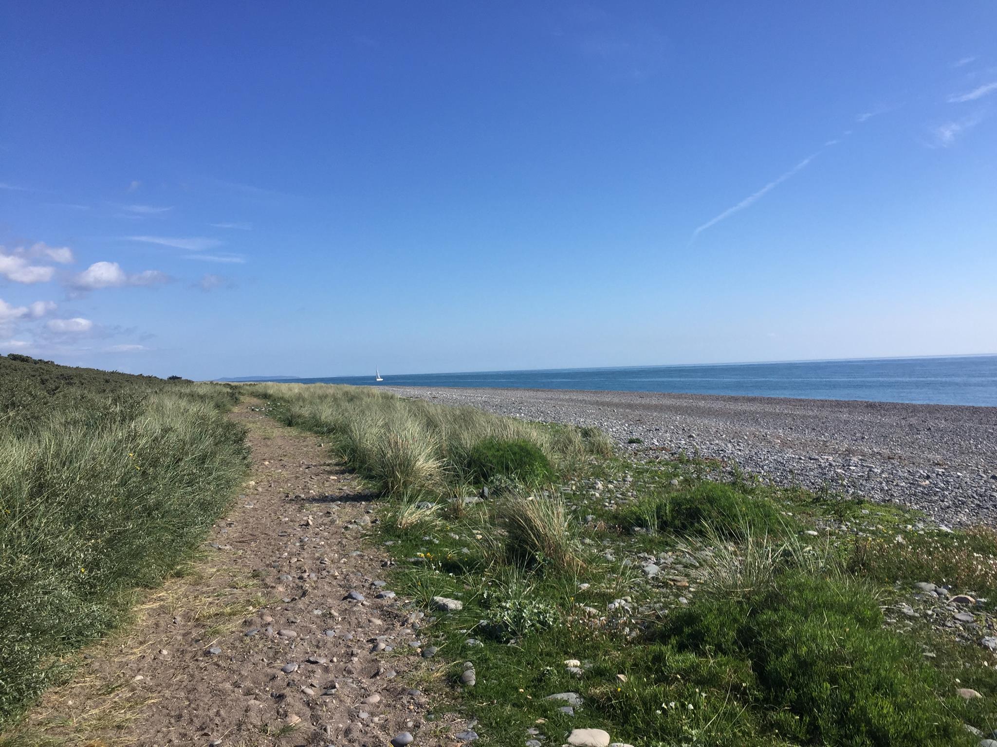
Coastal Path
From the train station at the sea, you can walk north to Greystones along the beach (1 hour), or south to the Newcastle nature reserve (1 hour). Along the way, enjoy long-distance views of the Wicklow Mountains and the nearer coastal hills.